Quick summary
- The Coast Mountains around Garibaldi Lake carry glaciated peaks and permanent snowfields that sit inside the aircraft's loop.
- Rock ground fine by moving ice and carried in the meltwater is what turns Garibaldi Lake's water a strong turquoise blue.
- Reaching this basin on foot means a long, uphill hike from the Rubble Creek trailhead, since there is no road to the lake.
- The flight loops over the basin in about thirty minutes, taking off from and landing back on the same stretch of water.
Glaciated peaks above the Garibaldi basin
This is a thirty-minute seaplane loop from Whistler, out over Garibaldi Lake and the Black Tusk and back to the same stretch of water. It does not land partway through and it does not linger over any single feature for long. What sets the view apart is the range itself: the Coast Mountains carry glaciated peaks and permanent snowfields, and several of them sit inside the loop the aircraft flies.
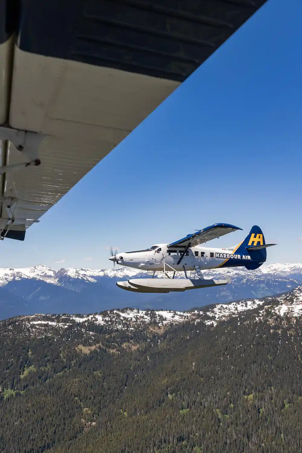
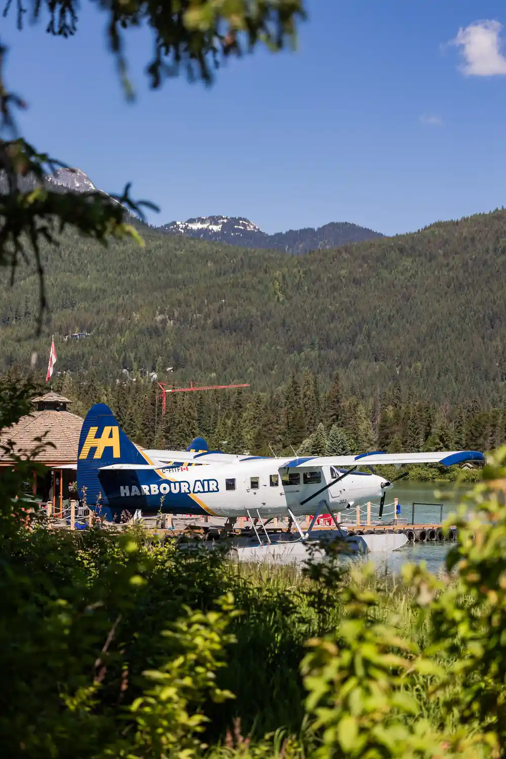
The aircraft is a small floatplane that takes off from the water at Whistler and returns to it. This is a sightseeing flight rather than transport from one place to another, so everyone aboard lands back where they started, having circled the basin rather than crossed it in one direction.
A short flight over a big range is a pass, not a survey. Thirty minutes gives you the shape of the terrain, ice included, rather than a slow study of any one summit. Take it as an overview from altitude, with the detail filled in by whatever you already know about the area or read before you go.
What a glacier looks like from the air
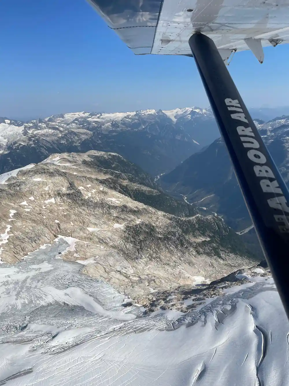
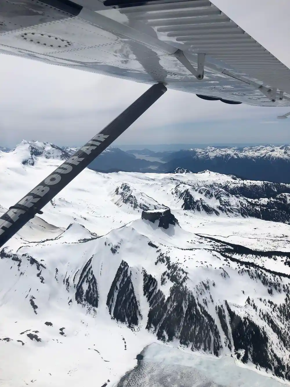
From a few thousand feet, a glacier reads as a pale field with a texture, not a flat white sheet. Where moving ice passes over uneven rock underneath, it cracks into crevasses, long fractures that run roughly parallel or fan out where the slope changes. From above, those fractures show as fine dark lines across a lighter surface.
Near the edges, where the ice is thinner or has pulled apart more, those lines widen and the surface looks broken rather than smooth. Snow sitting on top hides some of this in places and exposes it in others, so the same slope can look solid in one section and cracked open in the next, all within the same short flight.
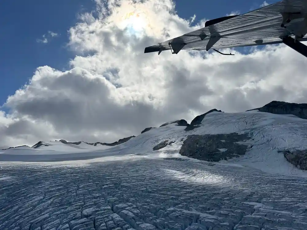
Crevasse lines catch the light as the seaplane banks over the Garibaldi basin.
Why the meltwater runs turquoise
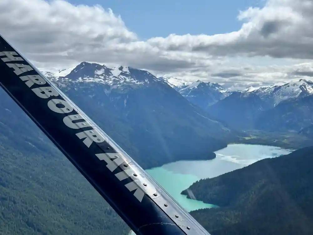
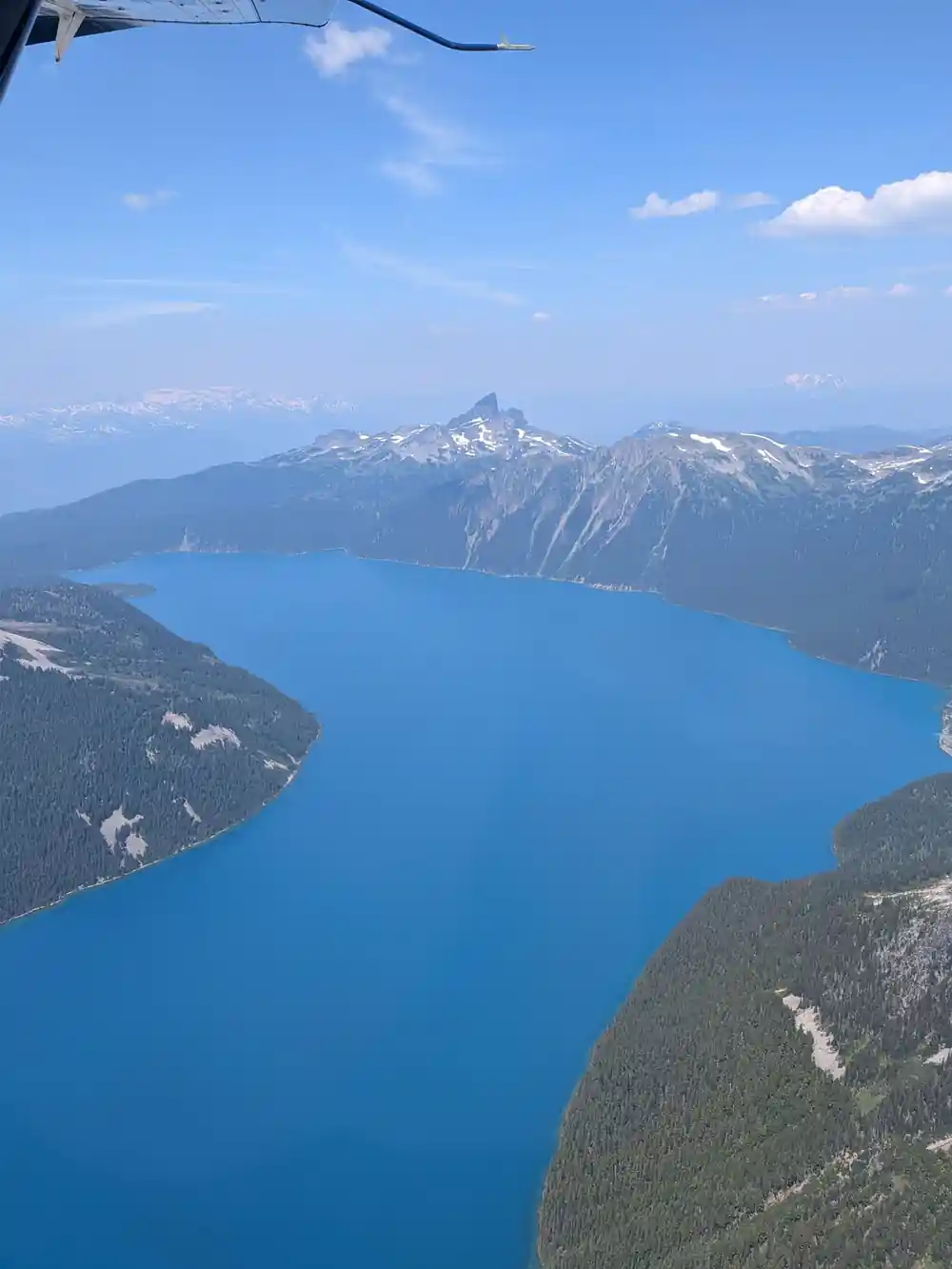
Garibaldi Lake sits in its basin behind a wall of volcanic rock known as the Barrier, and its water is a strong, distinct turquoise. The colour is not the sky reflecting back at you. It comes from what the ice grinds up as it moves: rock worn down to a powder fine enough to stay suspended in the meltwater rather than settling to the bottom.
That suspended powder, often called rock flour, scatters light differently than clear water does. Blue and green wavelengths bounce back strongly while others are absorbed, which is why a glacier-fed lake carries that particular colour and an ordinary rainwater-fed lake further down the valley does not.
Reaching this basin without flying
There is no road to Garibaldi Lake. Getting there on the ground means a long, uphill hike from the Rubble Creek trailhead, climbing the whole way with nothing but your own legs to cover the distance the aircraft crosses in minutes.
That is the honest trade this flight makes on your behalf. Half an hour in the air covers ground that would otherwise take the better part of a day on foot, in exchange for a view from altitude rather than a walk through the terrain itself, with everything at trail level up close instead of laid out below you.
24 km
The Harbour Air terminal on Green Lake sits roughly 24 kilometres from Garibaldi Lake, measured as a straight line, not a trail.
How close the flight actually gets
Measured in a straight line from the Harbour Air terminal on Green Lake, Garibaldi Lake sits roughly 24 kilometres away and the Black Tusk about 20 kilometres away. The lake and the Tusk themselves are only around 4 kilometres apart, which is close enough for one loop to take in both.
Those are air distances between mapped points, not trail distances or driving distances, because that is the measure that fits a flight. The aircraft does not land at either feature. It banks over the basin and turns back toward Whistler on the same water it left from half an hour earlier.
Not everything below is ice
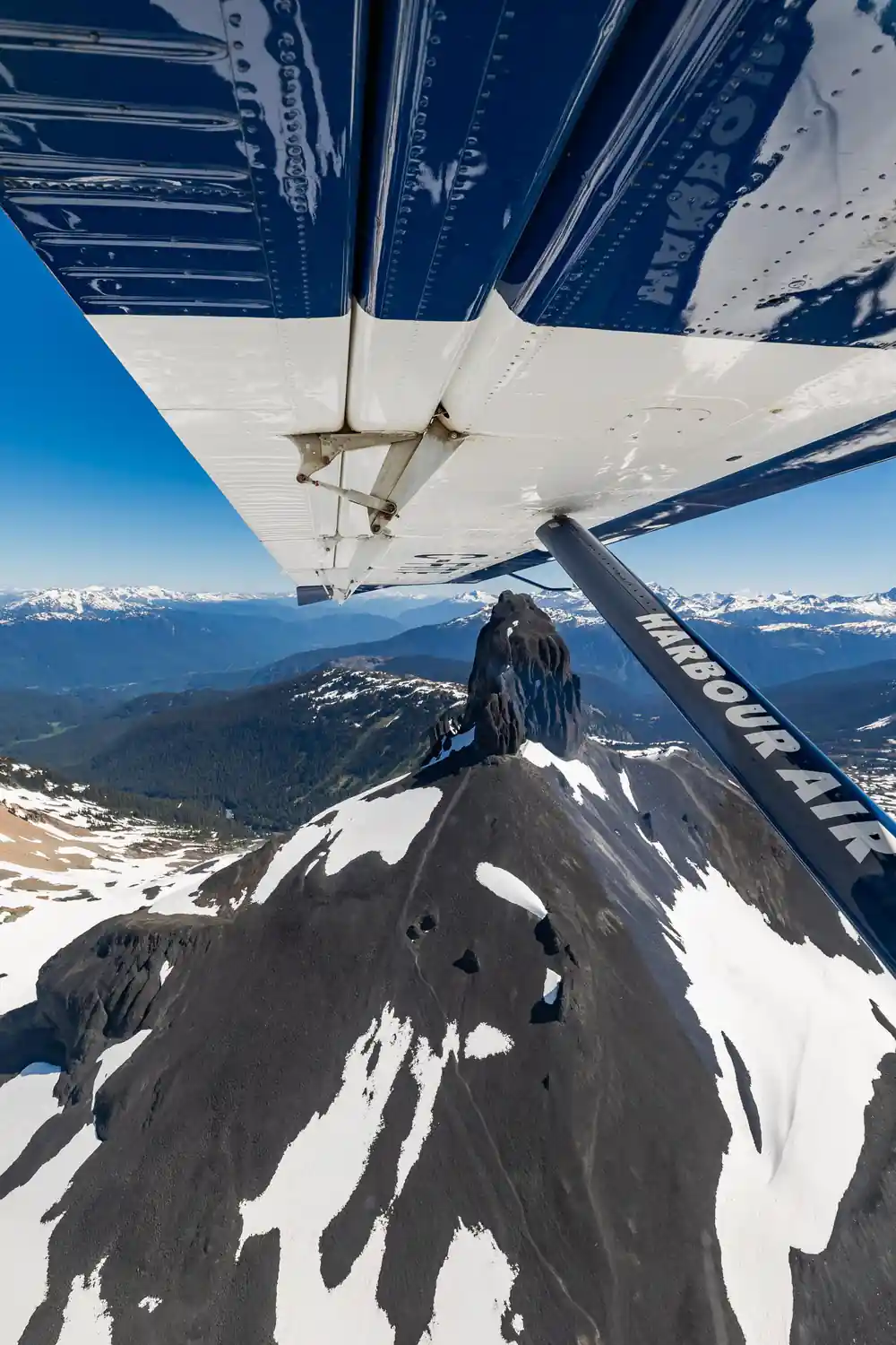
The Black Tusk itself carries no glacier. It is a dark, steep-sided pinnacle of volcanic rock, the eroded remnant of an old volcano, and it keeps that dark colour even when the ground around it is pale with snow. Picking it out from the air is straightforward for exactly that reason: it is the one dark shape in a basin otherwise dominated by white ice and turquoise water.
That contrast is worth watching for before you go. A first-time flier scanning the ground for ice can spend the whole loop looking at rock instead, mistaking a black spire for something it is not. Knowing in advance that the Tusk is stone rather than ice means you spend the thirty minutes looking at the right features, glacier and lake both, instead of the wrong one.
What changes through the year
A glacier's surface looks different depending on how much snow is sitting on it. When snow cover is deep, it smooths over the cracked texture underneath and the ice reads as a plain white field. As snow recedes later in the season, more of the bare ice and its crevasse pattern shows through instead.
The bigger variable on any given day is cloud, not the calendar. Low cloud over the Coast Mountains can hide the peaks entirely regardless of the month, while a clear day opens the whole basin up. That single condition decides what you actually see far more than the date on the booking.
See the glaciated peaks this seaplane flight crosses
from US$207Reserve now & pay later